

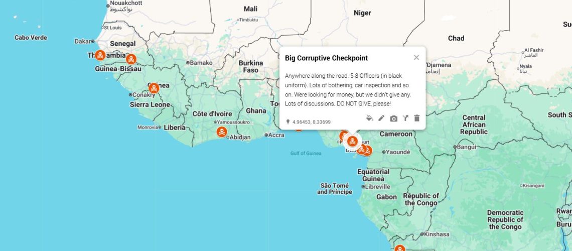
Navigating African cities has traditionally depended on local knowledge, roadside signs, landmarks, public transport routes, and asking for directions.
Today, digital maps are changing that experience. With smartphones and mobile internet becoming increasingly common, more people are using mapping applications to find destinations, estimate travel times, discover businesses, and navigate unfamiliar neighborhoods.
From Lagos and Nairobi to Accra, Johannesburg, Kigali, and Cairo, digital mapping is becoming an important part of everyday urban life.
Finding Faster Routes Through Busy Cities
Traffic congestion is one of the biggest challenges facing residents of major African cities. Digital maps can help commuters identify alternative routes and estimate how long a journey may take.
Instead of relying solely on familiar roads, drivers can compare different routes based on current traffic conditions. This can be particularly useful during rush hours, road closures, accidents, or major events.
For businesses that depend on transportation, better route information can also help reduce unnecessary travel time and improve delivery planning.
Making Unfamiliar Places Easier to Find
Digital maps have reduced the difficulty of locating places for the first time. A person visiting a new neighborhood can search for a restaurant, hospital, bank, shopping centre, hotel, government office, or business without depending entirely on verbal directions.
This is especially valuable in cities where addresses may not always be easy to interpret or where landmarks are more commonly used than formal street numbers.
A digital map can provide a visual route, helping users understand not only where a destination is but also how to get there.
Supporting Delivery and Logistics Businesses
The growth of e-commerce and on-demand delivery has increased the importance of digital navigation.
Delivery riders and logistics companies can use digital maps to locate customers, plan routes, and manage multiple deliveries. This can improve efficiency and reduce the time spent searching for addresses.
However, navigation in African cities can still be complicated by informal addresses, newly developed neighborhoods, poor road conditions, and changing street layouts. As a result, delivery businesses often combine digital mapping with phone calls and local knowledge.
Helping Small Businesses Become More Discoverable
Digital maps are also changing how customers find businesses.
A small restaurant, salon, mechanic, fashion store, or grocery shop can appear on a digital map when potential customers search for nearby services. This gives smaller businesses an opportunity to become visible to people who may never have encountered them through traditional advertising.
Accurate business information, including location, operating hours, contact details, and customer reviews, can make it easier for potential customers to decide whether to visit.
Improving Public Transport Navigation
Public transportation remains essential to urban mobility across Africa. Digital mapping tools are increasingly helping commuters understand routes, identify nearby transport points, and plan journeys involving multiple forms of transportation.
Although public transport information is not equally detailed in every African city, improvements in mapping data could make buses, trains, taxis, and other transport services easier to navigate.
Better transport mapping can also help newcomers and visitors become more confident moving around unfamiliar cities.
Making Travel More Convenient
Tourists and business travelers can benefit significantly from digital maps. Instead of carrying paper maps or relying entirely on hotel staff and local guides, travelers can explore destinations independently.
Maps can help visitors locate attractions, restaurants, shopping areas, cultural sites, transport stations, and accommodation.
This can make urban travel more flexible while also helping travelers discover businesses and places outside the most heavily advertised areas.
Supporting Emergency Response
Digital location services can also have practical safety benefits. Being able to share a precise location can help people communicate where they are during emergencies.
For emergency services, accurate mapping data can potentially support faster identification of locations and better route planning.
However, this depends heavily on the availability and quality of digital mapping data, internet connectivity, and the capabilities of local emergency systems.
The Importance of Better African Mapping Data
Despite their benefits, digital maps are not perfect. Some African neighborhoods may have incomplete information, incorrect business listings, unnamed roads, or outdated locations.
Rapid urban development can make this problem more noticeable. A road, business, or residential area can change faster than mapping databases are updated.
Improving local mapping therefore requires continued contributions from governments, businesses, residents, mapping companies, and technology communities.
Local knowledge remains valuable because residents often understand shortcuts, landmarks, road conditions, and neighborhood changes that may not yet appear on digital maps.
What the Future Could Look Like
As African cities become more digitally connected, mapping technology is likely to become even more important. More detailed transport data, improved location services, better mapping of informal settlements, and integration with delivery and mobility platforms could make urban navigation easier.
Digital maps may eventually become more than tools for finding directions. They could support smarter transportation systems, urban planning, business discovery, emergency response, and everyday decision-making.
Conclusion
Digital maps are changing how Africans experience and move through their cities. They make unfamiliar places easier to find, help businesses become more visible, support logistics, assist travelers, and give commuters better information about their journeys.
They do not eliminate the importance of local knowledge, but they complement it with real-time digital information. As mapping technology and connectivity continue to improve, digital maps could become an increasingly important part of Africa’s evolving urban landscape.
